



Category
Browse By
- Category
-
- Nimbus VTOL (5)
- BABY Shark VTOL (4)
- Great Shark VTOL (2)
- GAIA 160 ELITE (1)
- GAIA 160S (3)
- RHEA 160 (1)
- THEA 140 Quadcopter (1)
- GAIA 120 Hexacopter (1)
- Hover 1 Quadcopter (5)
- Mapping Camera (1)
- Options for Mapping (2)
- Datalink (0)
- Ground Station (1)
- RTK/PPK System (3)
- SABER VTOL Delta Wing (0)
- Loong VTOL (3)
- NAGA Quadcopter (4)
Featured Products

$379.90
$309.00
$59.99
$795.00
$25.00
-
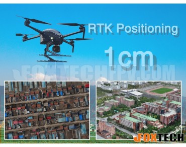 $10,758.00NAGA Quadcopter Mapping Package is a small size aerial platform of unrivalled performance for mapping, surveillance and inspection.
 -
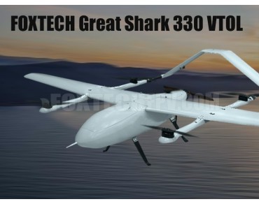 $100,000.00Great Shark 330 VTOLfeatures a highly advanced aerodynamic design. The fuselage is made of Kevlar material which is very light and durable.The Great Shark 330 VTOL can be used to do a lot of things like long range inspection, 3D modeling,oblique mapping and ground survey etc.
 -
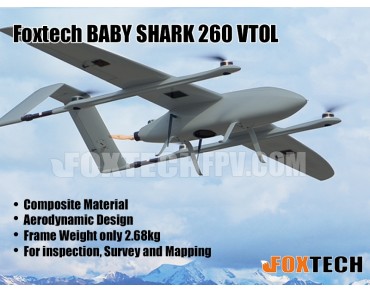 $100,000.00BABY SHARK 260 VTOL can take off and land vertically in a small area, and fly like a multicopter. It can perform most tasks like long range inspection, survey and mapping etc.
 -
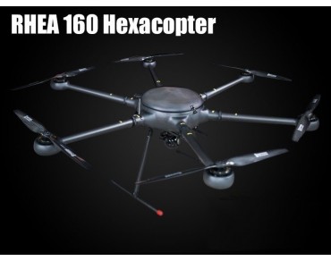 $100,000.00Rhea 160 is a high strength drone(multirotor) with 90 minutes long flight time and large loading capacity, rhea160 hexacopter can be widely used in surveillance, inspection,survey and mapping etc.
 -
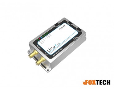 $5,799.00DG3 Dual Antenna Differential Positioning and Orientation System, Ubase, AheadX, RTK, PPK
 -
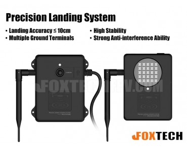 $4,159.00The latest precision landing system for UAV has good stability, strong anti-interference ability, and compatible with a variety of flight controllers, such as Pixhawk, PX4, DJI A3/N3 etc. The landing accuracy is controlled within 10cm.
 -
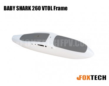 $749.00FOXTECH BABY SHARK 260 VTOL spare parts include BABY SHARK 260 VTOL Frame, Fuselage Front Cover, fuselage Rear Cover, Left Wing, Right Wing, Left Tail, Right Tail, Left VTOL Arm, Right VTOL Arm, Front Landing Gear, Rear Landing Gear, Servo Cover, ESC Cover.
 -
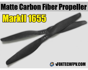 $11.9918inch,markii,matte,carbon fiber,multirotor,high efficiency,well balanced,foxtech,markII
 -
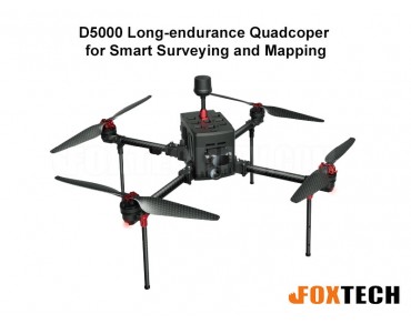 $100,000.00D5000 Long-Endurance Quadcopter UAV for Smart Surveying, Mapping, and Inspection. With up to 90 minutes of flight time, high-precision GNSS, modular payload design, and advanced software, it's perfect for aerial mapping, infrastructure inspections, and emergency response in complex environments.
 -
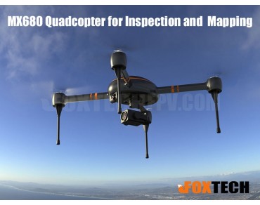 $100,000.00MX680 is a small but powerful drone with long flight time designed for inspection and mapping.
Payment


Shipment


